Blog
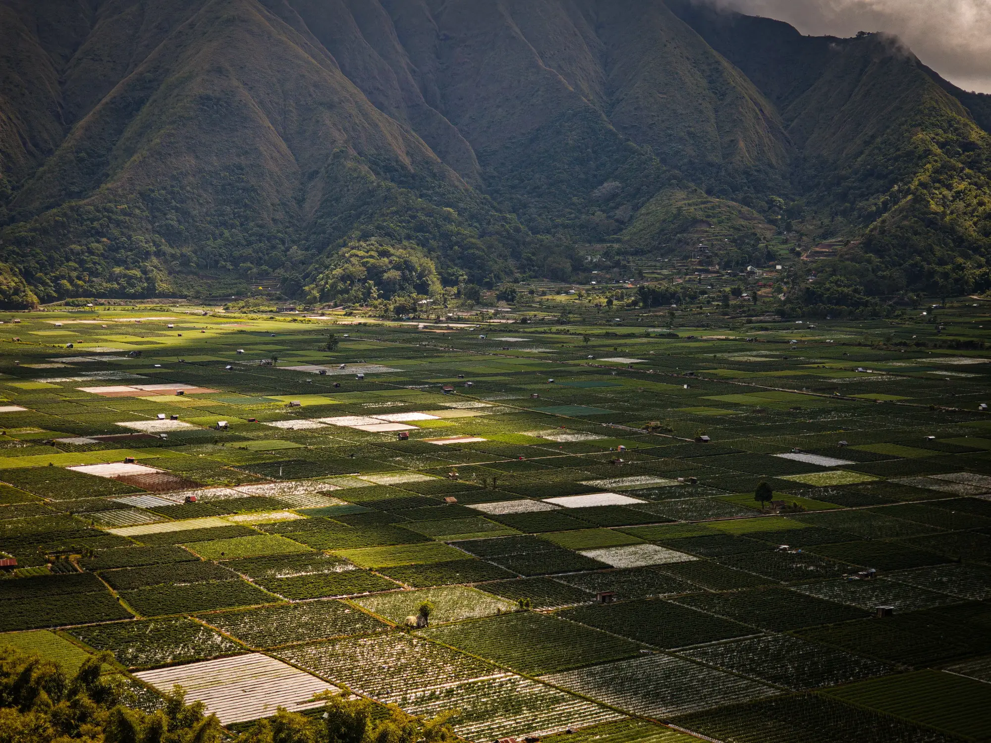 Field notes: the week two villages got rain nine days apart
A field-notes dispatch on two villages getting their first rain nine days apart, and why the regional satellite average missed it entirely.
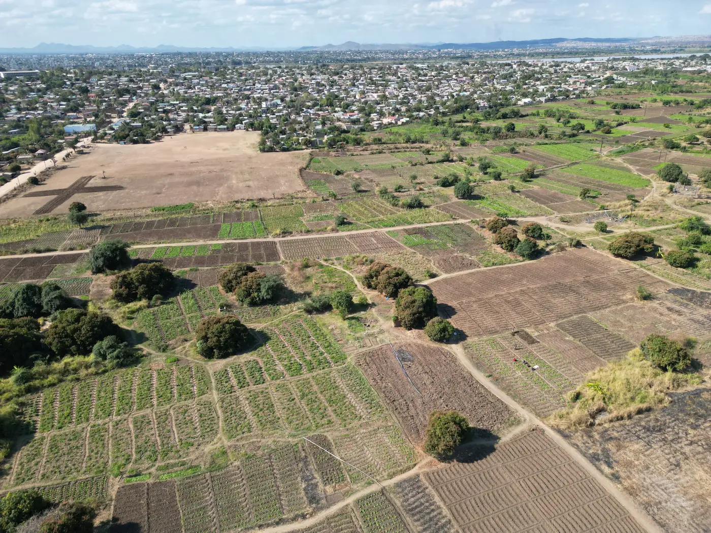 What counts as a field boundary when pulling a vegetation index reading
How agronomists should draw the field polygon or AOI for NDVI on small plots, and where mixed-pixel edge effects actually come from.
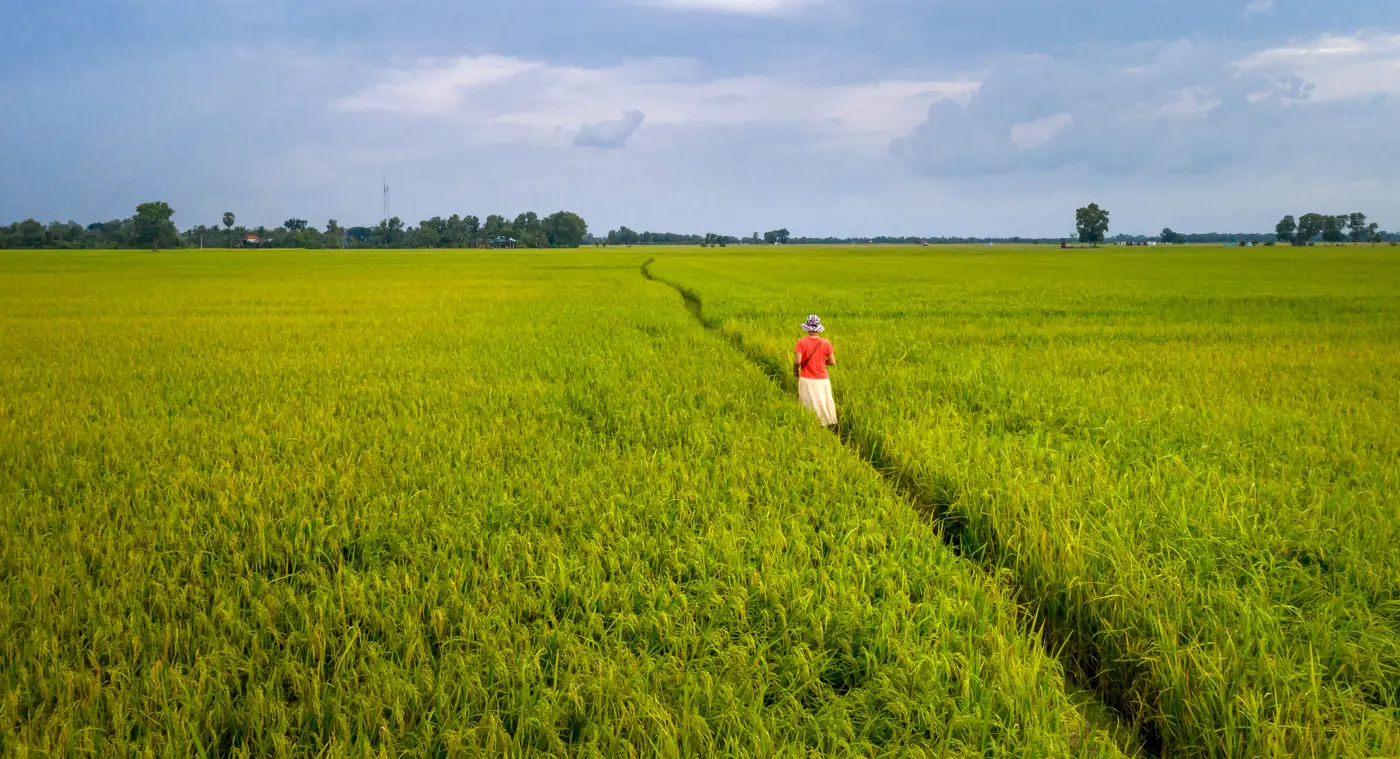 How to brief an extension officer using a weekly vegetation index map
A practical guide to turning a weekly field-scale vegetation index map into a briefing an extension officer can actually use on a visit.
- Reading a vegetation index map on an intercropped smallholder plot
Why a wide-swath index map blends an intercropped plot's crops into one reading, and how to interpret it without over-trusting the color.
- Field notes: the week two neighboring plots told completely different stories
Two adjoining smallholder plots looked identical in the regional index. On the ground, one was stressed and one wasn't. What the pixel missed.
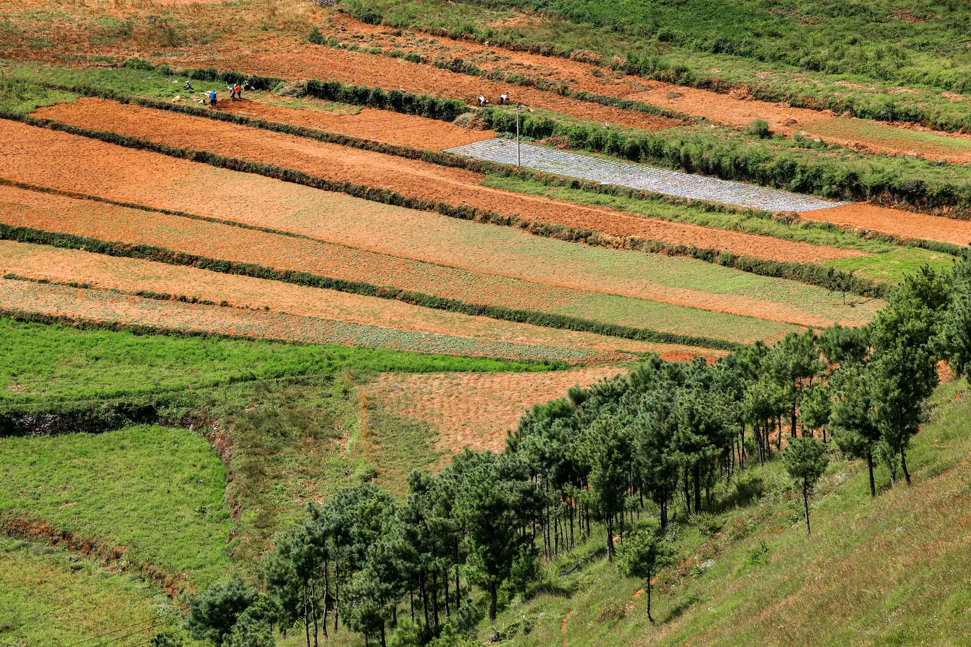 What is field fragmentation, and why it matters for satellite crop monitoring
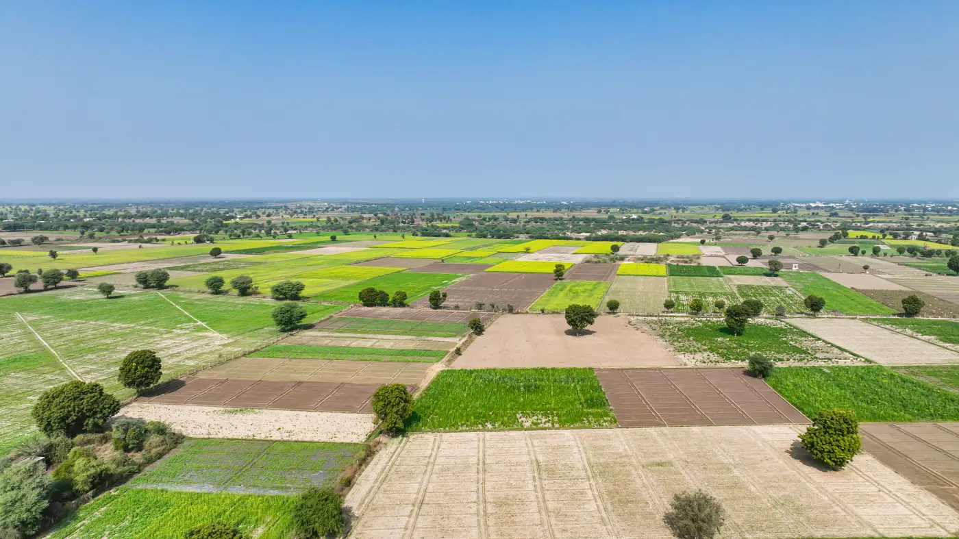
Field fragmentation blends small plots into one satellite pixel. Here's how pixel averaging distorts readings for scattered smallholder fields.
- How many fields can one agronomist track with a weekly index feed?
Caseload planning on a weekly index feed comes down to whether the reading holds at field scale. Here's how to think about it.
- What is a field type, and why vegetation index fusion rolls out one crop at a time
Field type explained for smallholder ag advisors: why per-field vegetation index fusion is built crop by crop, not as one blanket national layer.
- Field notes: the week the index map finally matched what the farmer group already knew
A field note on the week a per-plot index reading finally agreed with what the farmer group had already seen walking the rows.
 How often should a smallholder advisory service update its field index maps?
Weekly usually fits advisory bulletin cycles better than chasing satellite revisit rate. The real constraint is pixel size, not refresh speed.
- How to explain a vegetation index map to a smallholder farmer
A field-walk guide for extension officers on turning vegetation index colors into something a smallholder farmer trusts.
- What is ground sample distance, and why your field disappears into one pixel
GSD decides whether your field gets its own reading or gets averaged into a neighbor's plot. What spatial resolution really means for field-level monitoring.
- Is that NDVI reading your field, or the field next door?
How to check if a vegetation index value is blending a neighboring plot's pixels, and why drawing a tighter boundary doesn't always fix it.
- What is resampling, and why does a vegetation index map need it for small fields?
Resampling explained for agronomists working with small plots: why a 10-30m pixel swallows a smallholder field, and what fusion fixes.
- How small can a field be before satellite NDVI stops working?
Why satellite NDVI blurs small plots into mixed pixels, the field size vs pixel resolution math, and what to check before trusting a coarse reading.
- Image fusion vs. pan-sharpening for vegetation index maps
A field-level look at pan-sharpening and multispectral fusion, and why the difference matters when your index map has to represent a 0.4-ha plot.
- Pixel size vs. field size: is your plot too small for satellite monitoring?
How to check GSD against a field boundary before trusting a satellite index reading on a smallholder plot.
- What is a mixed pixel in satellite imagery?
A plain explanation of mixed pixels, why they smear small fields into coarse averages, and what that does to NDVI readings on smallholder plots.