Field notes: the week two villages got rain nine days apart
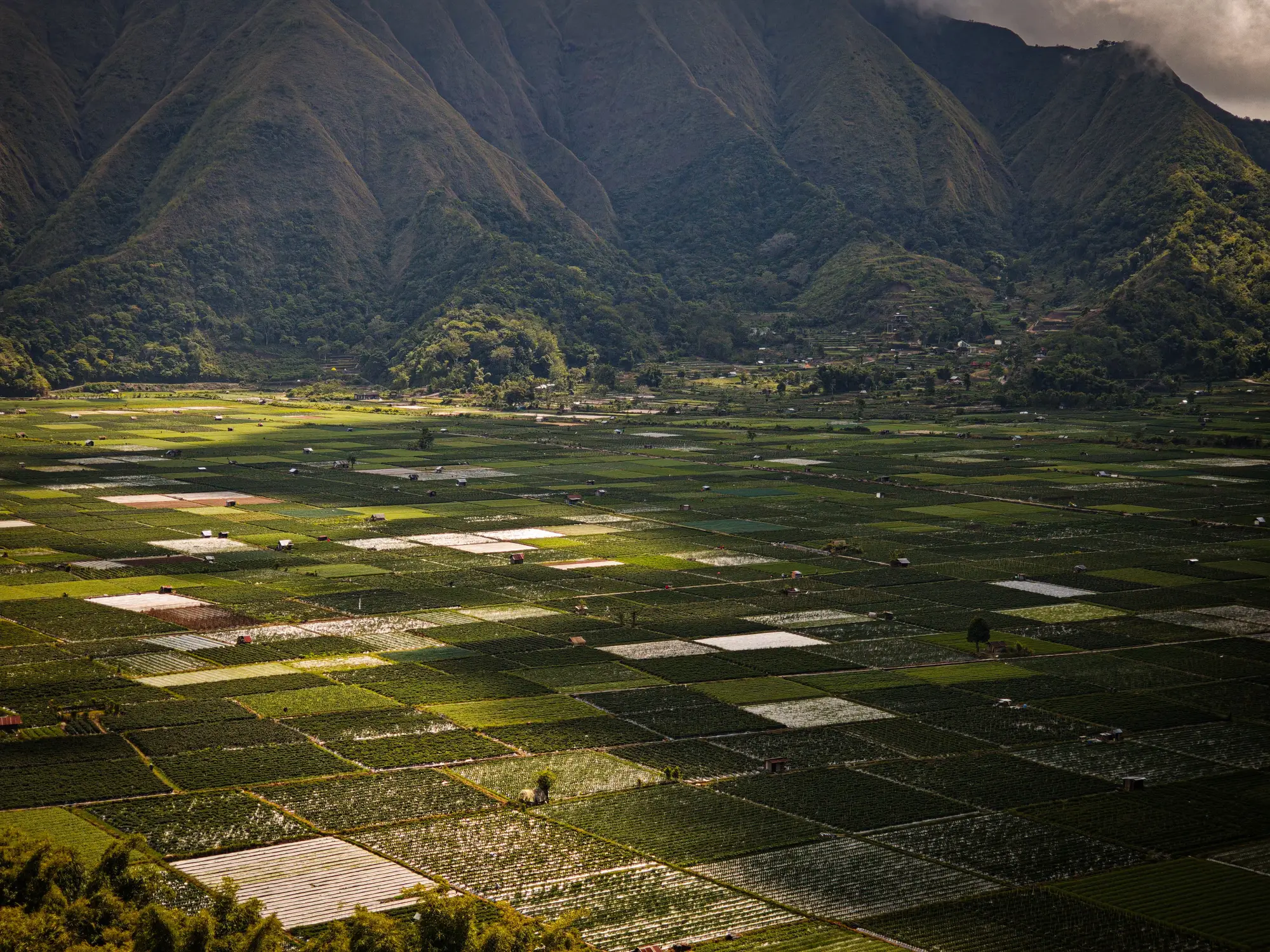
Late in the monsoon window this year, a colleague covering a hill-and-terrace block sent me a note that stuck with me. Two villages she advises sit about six kilometers apart, same union council, same crop calendar on paper. One got its first real soaking on the 14th. The other didn't see anything worth calling rain until the 23rd.
Nine days doesn't sound like much until you're the one deciding when to tell a farmer to top-dress urea. The upslope village had its maize tillering and greening up nicely by the time the downslope fields were still sitting in cracked, pale soil waiting for the sky to do something. Same elevation band, same soil series on the district map, same bulletin going out to both.
That bulletin is the part that bothers me. Most of the index products my colleagues pull from cover a swath wide enough to fold both villages into one grid cell, sometimes two. At that scale the model sees a blended canopy signal, half stressed, half greening, and reports something in the middle, a number that matches neither village on the ground. The farmer who got rain on the 14th looks a little behind where he should be. The one who waited until the 23rd looks better off than he is. Advice calibrated to the average helps neither.
This is the part of the job that doesn't make it into the glossy decision-support slides: rain doesn't fall on administrative boundaries, and vegetation doesn't green up on a grid someone else chose for satellite revisit math. A ridge, a drainage line, a strip of trees that shades one terrace from the afternoon sun, any of these can split a rainfall event clean in half within a few hundred meters. The crop responds to what touched the ground on its own field, not to whatever a 20-meter pixel averaged across the hillside.
I've started asking advisors in these mixed-terrain blocks a blunt question: when your index map disagrees with what the farmer tells you on the phone, who do you believe? For a long time the honest answer was the farmer, because the pixel was coarser than the problem. That's a bad place for an index product to sit. If the grower on the ground is the correction layer for your satellite data, the satellite data isn't doing the job yet.
What changed my mind on this is matching the read to the thing you're managing, a field, not a swath, rather than chasing finer resolution for its own sake. A weekly pass that resolves the ridge from the terrace, the village that got rain on the 14th from the one that waited until the 23rd, turns the bulletin from a regional guess into something an advisor can stand behind in front of a farmer. Field Scale Index is building toward exactly that, fusing the wide-swath passes with sharper looks so a field smaller than a mixed pixel still gets its own weekly reading instead of someone else's average.
Nine days of rain offset is a small thing in a season. It's also the kind of small thing that, multiplied across a hundred villages in a block like this one, is the difference between advice that matches the ground and advice that matches the map. Worth asking which one your current feed is giving you.
If you're tired of averaging two villages into one number, it might be worth getting on the waitlist for a field-scale read.