How to brief an extension officer using a weekly vegetation index map
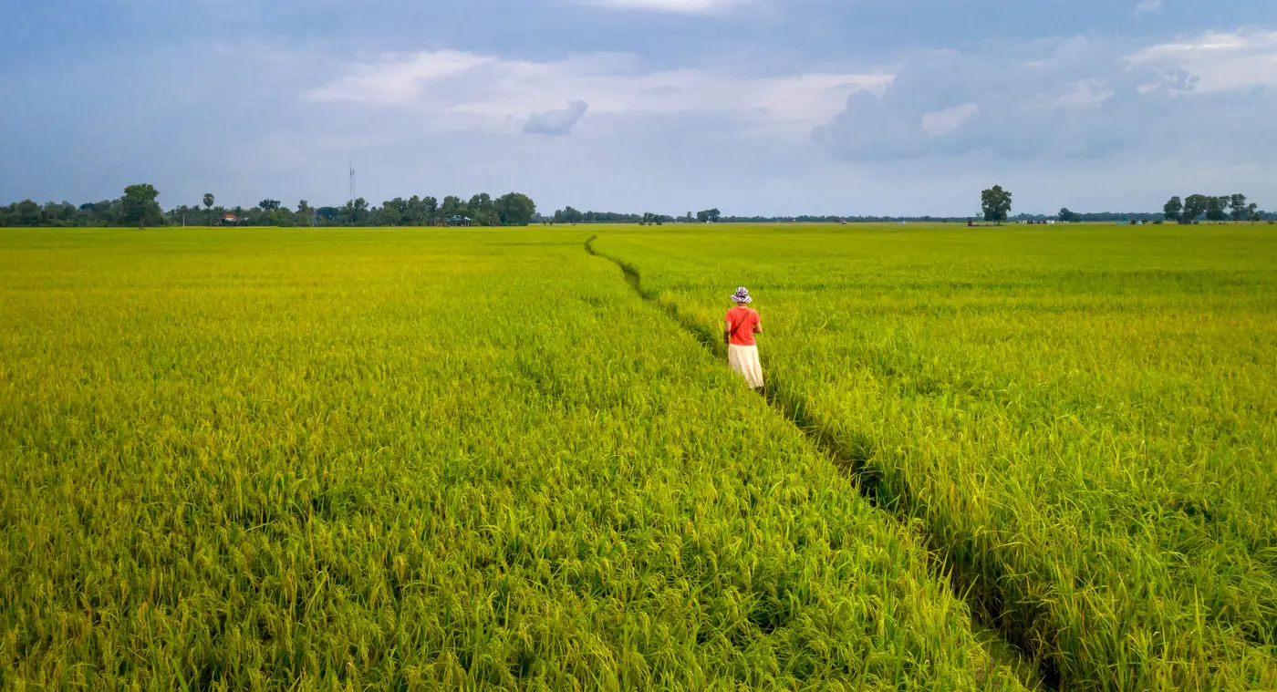
An extension officer walks into a farmer's compound with maybe twenty minutes and six other households on the list for the day. If the briefing you hand them is a crop-stress narrative with no field reference, they'll nod, write something vague in their logbook, and move on. The index map only earns its keep if it turns into three or four plain sentences the officer can say out loud at the field edge.
What the briefing packet actually needs
Start with the field, not the index. Officer and farmer both know the plot by its name or its position relative to the borehole, not by a tile ID. So the packet should open with that reference, then attach the reading to it.
From there, keep it short:
- This week's index value for the field, and whether that's up, down, or flat from last week
- One line on what the trend suggests: stress building, recovery underway, nothing unusual
- Any action the trend points to, stated as a question the officer can ask rather than a verdict ("has this plot had water in the last ten days?")
- A note on confidence, if the field is small or oddly shaped relative to the source pixel
That last point matters more than it sounds. A wide-swath pass is built on 10–30 m pixels. A smallholder plot that's a third of a hectare can sit entirely inside one of those pixels, averaged in with the neighbor's field, the access track, and a strip of fallow ground. An officer briefed off that kind of blended number is really briefing off someone else's field too. If your index source hasn't dealt with that, say so in the packet rather than let the officer discover it when the farmer points out the reading doesn't match what they're looking at.
Timing the briefing to the cadence
A weekly index only tells a useful story if the briefing lands on the same rhythm. Officers who get a dump of numbers the night before a visit, with no sense of which week they're looking at, end up treating a three-week-old reading as current. Date-stamp every figure. If a cloud pass or gap means a field has no fresh reading that week, say that too instead of carrying the last number forward silently.
It also helps to brief on the shift, not just the number. "Down two weeks running" tells an officer more than a single value ever will, because it gives them something to ask about rather than just report. Agronomists running weekly field index reports for several advisory rounds usually find the trend line does more work than the raw figure on any single week.
A short script beats a long report
Most officers aren't going to read a five-page export standing in a field. Give them a script instead: field name, this week's reading against last week's, the one question to ask, and what to flag back if the answer is concerning. That's the whole briefing. Anything longer gets skimmed or skipped.
If you're assembling these briefings from a regional index layer built for large center-pivot fields, you'll keep running into the mismatch problem above, a plot too small to register as its own signal. Field Scale Index is being built to close that gap, fusing wide-swath passes with sharper looks so a field under a hectare gets its own weekly reading instead of a number borrowed from the fields around it.
It's early access, built out field type by field type rather than as a finished national layer, but if per-field readings are what your briefings have been missing, it's worth a look.