Field notes: the week the index map finally matched what the farmer group already knew
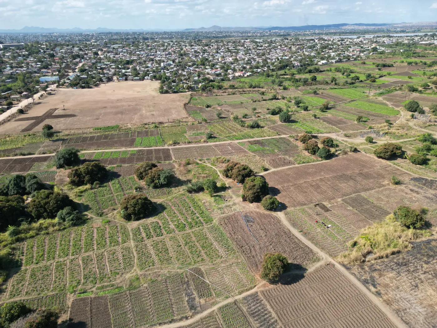
There's a particular kind of silence that happens on a verification visit when the index map says one thing and the farmer group says another, and everyone in the truck knows which one to believe. It's not the satellite.
I was out with an extension officer in a maize and groundnut block last month, the kind of mixed smallholder landscape where plots run half a hectare, a third of a hectare, sometimes less, stitched together along a drainage line. The farmer group had already flagged two plots as stressed, something about canopy color that didn't need a sensor to see. The weekly regional vegetation layer we'd been pulling for the advisory showed a healthy, uniform green across that whole stretch. Not slightly off. Flatly wrong, in the specific way that matters: it had blended a stressed quarter-hectare plot with its three healthy neighbors into one mixed pixel and called the average "fine."
This is the trust gap nobody puts in the training manual. You bring a printout or a tablet to a farmer group meeting, you show them a map, and if the map doesn't match what they walked past that morning, you've spent your credibility for the week. Doesn't matter how good the underlying science is. An agronomist who shows up with a wrong map twice stops bringing maps.
What made this particular week worth writing down is that the usual gap didn't open. We ran the same stretch through a field-scale fusion pass instead of the raw wide-swath product, and the stressed plots the group had already named showed up as their own distinct reading, separate from the healthy ground around them. The farmers weren't surprised, since they'd told us as much already. What changed was that the map stopped contradicting people who were right.
That's a small thing to put in field notes, but it's the thing advisory work actually runs on. A farmer group already knows when their own field is stressed; what they need from the advisory layer is for it to stop being the thing that gets corrected in the meeting. Every time the coarse average smooths over a real difference between adjacent small plots, it costs the officer standing in front of the group a little bit of standing. Do that enough times and the map becomes a prop nobody consults, and the advisory service is back to doing everything by foot traffic and memory, which is what the index was supposed to help with in the first place.
The mechanics of why this happens are not mysterious. A wide-swath multispectral pass gives you a pixel somewhere in the 10 to 30 meter range, and a smallholder plot is routinely smaller than that pixel in at least one direction. The sensor reads the pixel correctly; it's the average of whatever ground fell inside that pixel, and in a patchwork of half-hectare plots that average can bury exactly the field-to-field variation the advisory group needs to see. The farmer group, walking the actual rows, has a resolution the satellite doesn't: their own feet.
Closing that gap is the whole idea behind Field Scale Index, a weekly field-scale reading built by fusing the wide-swath pass with sharper looks so individual smallholder plots stop getting smeared into their neighbors. It's early access, built out field type by field type rather than dropped as a finished national layer, and it won't replace the farmer group's own eyes. It doesn't need to. It just needs to stop handing them a map that argues with what they already know.
If your advisory maps keep disagreeing with the people who walked the plots that morning, it might be worth checking whether the pixel is the problem before anything else is.