What is a field type, and why vegetation index fusion rolls out one crop at a time
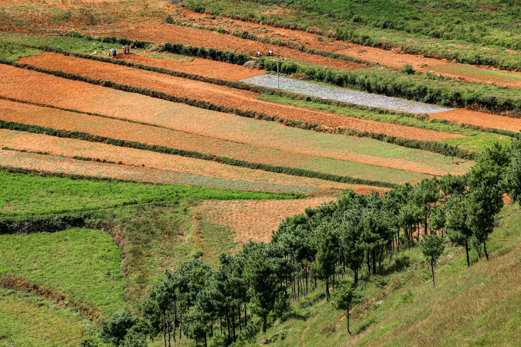
If you've ever pulled a wide-swath vegetation index over a block of smallholder plots and watched three different crops, two fallow strips, and a farm track all get averaged into one mushy pixel, you already know why "field type" matters more than most index products admit.
A field type, in the sense that matters for fusion work, isn't just "maize" or "cassava" as a label on a form. It's a combination of canopy structure, row geometry, planting density, and growth stage pattern that determines how a crop reflects light and how badly it gets smeared when a 10-30 m pixel tries to describe a 0.3-hectare plot. A dense, closed-canopy cereal behaves very differently under a wide-swath sensor than a short-statured legume intercropped on raised beds, or an orchard with wide gaps of bare soil between trees. Each of those is a distinct field type, even if an extension officer would never think to separate them that way on a field card.
Why fusion can't just be turned on everywhere at once
Fusing a wide-swath multispectral pass with a sharper look sounds, on paper, like a single algorithm you'd run once and point at anywhere. In practice it isn't, because the thing being fused is different every time. A tuning that correctly separates a maize canopy from the bare soil around it will misread a scattered cassava plot, because cassava's canopy gaps and shadow patterns don't follow the same geometry. A fusion step calibrated on close-planted rice paddies doesn't transfer cleanly to mixed vegetable gardens with irregular bed widths. Get the tuning wrong for a given field type and you don't get a slightly-off reading, you get a confident-looking number that's measuring the wrong thing entirely.
That's why a field-scale index rollout happens field type by field type rather than landing as one finished national layer on day one. Each field type needs its own calibration pass against that crop's canopy behavior before the fused reading is trustworthy enough to hand to an agronomist making a recommendation. Skipping that step to claim broader coverage faster would mean shipping numbers nobody has checked against how that crop actually grows.
Which crops have field-scale coverage right now
Field Scale Index is in early access. The pipeline is being extended field type by field type as each one gets calibrated, and the build order isn't fixed or finished, it shifts based on which crops are ready. If you're checking whether your region's dominant field types are covered, the honest answer is to ask rather than assume, because the answer changes as the build moves forward.
What this means day to day for an advisory service: the fields that get a fused, field-scale reading are the ones whose field type has already gone through calibration. Everything else still rides on the coarser wide-swath signal until its turn comes. That's a real constraint, not a rounding error, and it's worth factoring into how you plan which plots to flag for a closer look versus which ones you can trust a weekly index on already.
If your advisory service is working across several field types in the same district, knowing which ones currently get a per-field vegetation index reading rather than a regional average will save you a confusing season of comparing numbers that aren't calibrated the same way.
Get in touch to find out where your field types sit in the rollout, and join early access when they're ready.