How often should a smallholder advisory service update its field index maps?
A field officer in a smallholder advisory program typically sends bulletins weekly or every ten days, tied to the extension visit schedule or the SMS blast that goes out ahead of a spray recommendation. The index map underneath that bulletin should match that rhythm, not the raw revisit rate of whatever satellite constellation happens to be imaging the area.
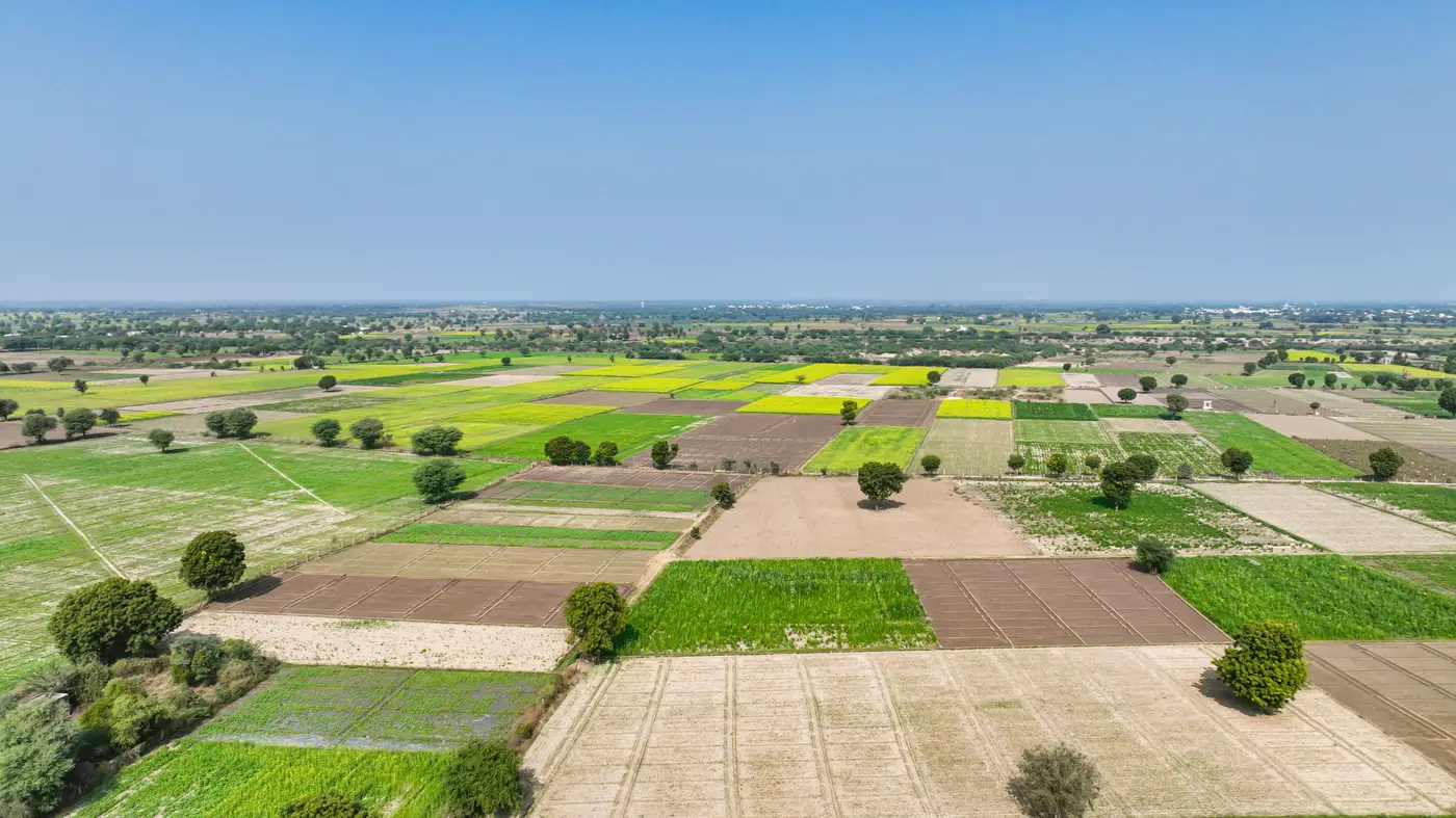
Wide-swath multispectral platforms pass over the same ground every one to three days. That sounds like it should mean a fresher map than weekly, but a half-hectare plot squeezed into 10 or 30 meter pixels is already mixed with the neighbor's field, the access track, and sometimes a stand of trees at the boundary. Capturing that mixed signal more often doesn't make it more accurate. It just gives an advisory service more frequent copies of the same smeared average.
Matching cadence to crop stage, not to the sensor
Crop condition doesn't move fast enough, most weeks, to need daily or even three-day index updates at the field scale. A maize field in vegetative growth shifts over days to weeks. The exceptions are the stages advisory services worry about, like the window around top-dressing or the stretch right before a drought stress call needs to go out. Even then, a weekly index refresh usually catches the shift early enough to act on, as long as cloud cover hasn't knocked out two or three passes in a row.
Cloud cover is the real cadence killer in most smallholder advisory regions, not sensor revisit rate. A constellation that revisits every two days is still only as useful as its next clear pass. In a rainy-season window, that can mean a week or more between usable looks regardless of what the spec sheet promises. Building a bulletin schedule around a theoretical daily revisit, when the clear-sky cadence is closer to weekly, sets up field staff for a map that's blank more often than it's current.
Advisory services generally batch field visits, print bulletins, and schedule SMS alerts on a weekly cycle anyway, because that's how extension staff plan their routes. Matching the index refresh to that cycle means the map is ready when the bulletin goes out, not three days stale or sitting on last week's data because the ground team already left.
When fields are too small for the sensor to answer the question at all
There's a harder version of the cadence question underneath all this. A wide-swath pixel can cover several smallholder plots at once, so even a perfectly timed weekly pass is averaging across field boundaries that mean nothing to the sensor and everything to the farmer getting the bulletin. A ten or thirty meter pixel sitting over a quarter-hectare plot isn't reading that farmer's crop. It's reading a blend of that plot and whatever's next to it. No amount of revisit frequency fixes that. It's a resolution gap, and a faster satellite pass doesn't close it.
That's the gap Field Scale Index is built around: taking the weekly wide-swath pass and fusing it with sharper looks so the index reading lines up with the field boundary an advisory officer actually drew, instead of a pixel that straddles three farms. The cadence stays weekly, matched to how advisory bulletins already get scheduled, but the reading underneath it is scoped to one field rather than a mixed regional average.
The short answer
Weekly is the cadence that fits how most smallholder advisory services already operate, built around weekly field visits and weekly bulletins. Chasing a faster satellite revisit rate doesn't buy much when cloud cover and crop growth speed cap how often the data changes in any useful way. What's usually worth fixing first is whether each pixel in the map belongs to one field.
If your service is mapping smallholder plots smaller than a wide-swath pixel, it's worth seeing what a weekly field-scale reading looks like for your region.